


Image
Légende
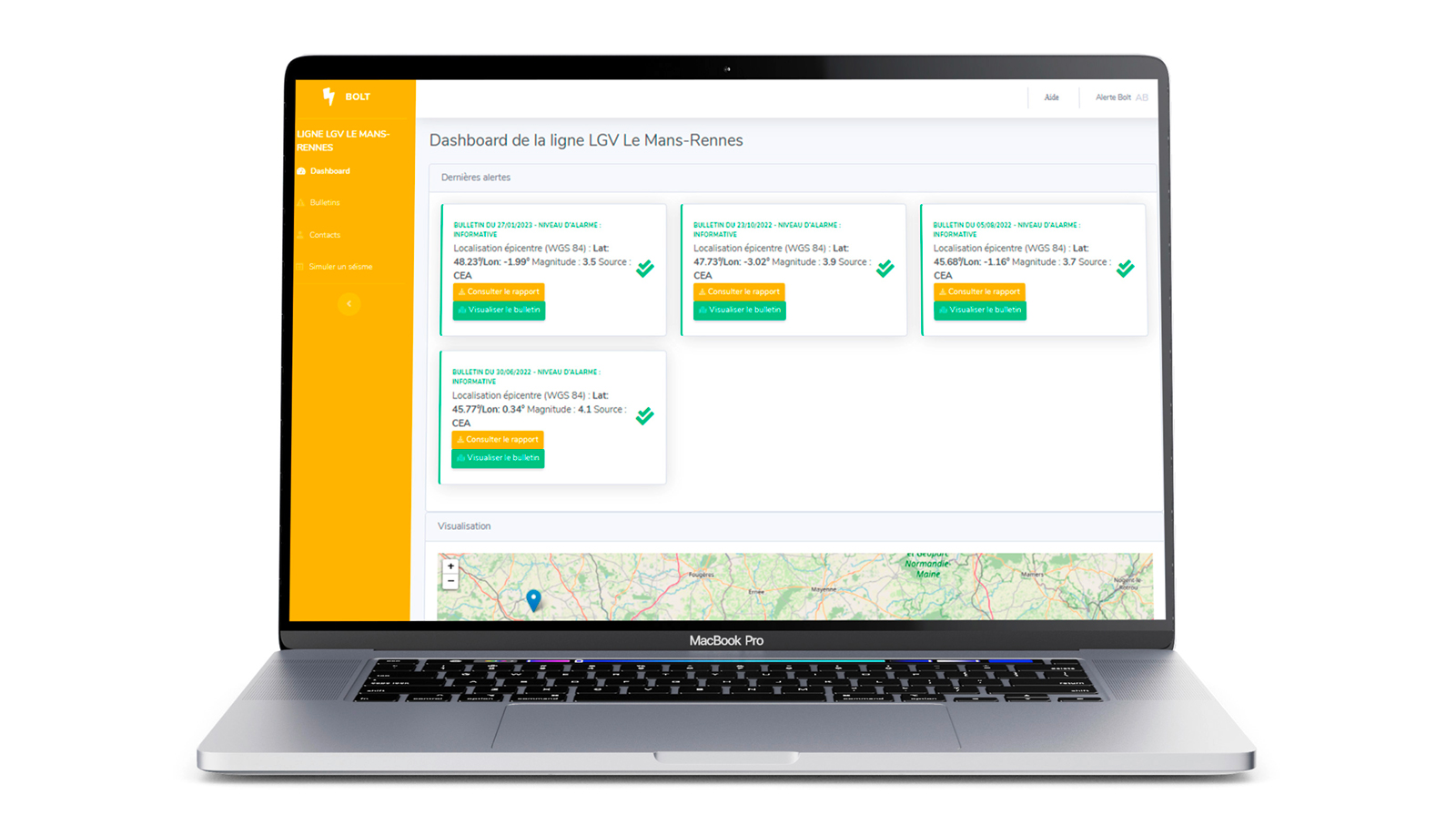
On the VIGI Structure web interface, users can consult data and information related to earthquake warnings (history of warning bulletins, mapping). © BRGM
Digital data, services and infrastructure
How can we better warn of the impact of earthquakes so as to meet the requirements for risk prevention, safety and continuity of the activities of facilities and structures? This is the purpose of VIGI Structure. Building on the success of the BOLT alert bulletin for linear infrastructure managers, BRGM has developed it into VIGI Structure. This is a more generic earthquake warning service, which provides a tailored response to the needs of industry and government agencies for infrastructure monitoring. VIGI Structure provides a synthesis of the simulated data and information following a seismic alert, a web interface for consulting data and information (alerts, alert recipients, history of bulletins), dissemination of alerts and bulletins by SMS and finally the possibility of simulating seismic alerts with generated bulletins.
On the VIGI Structure web interface, users can consult data and information related to earthquake warnings (history of warning bulletins, mapping). © BRGM
Imag’In helps BRGM inventors to innovate through digital technology and to have their ideas supported by an internal process dedicated to innovation. In 2022, DigitRock won the award and entered its mature phase. The idea is to create an online catalogue of digitised thin sections and a range of services for the mining and processing industries, from digitisation to storage of thin sections, along with chemical analysis and interpretation.
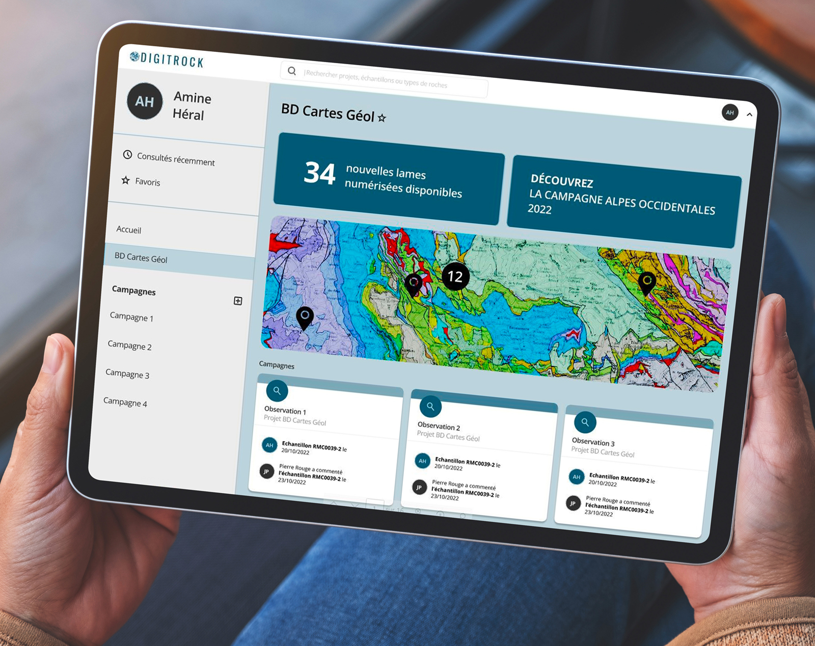
DigitRock website. © BRGM
BRGM has signed a framework agreement with the start-up namR, which specialises in producing geolocalised data for the ecological transition of the building stock. The aim will be to create new digital solutions at a time when buildings are particularly exposed to natural hazards in the context of climate change: clay shrinkage and swelling, cavity risks, ground movements, etc. By joining forces, these two stakeholders hope to produce geolocalised data and to study the subsurface in order to put forward relevant adaptation solutions for the building stock in France.
BRGM provides a video presentation of its information ecosystem, involving some fifty websites and mobile applications disseminating the scientific and environmental data of the French geological survey, focusing on six Earth science issues: geology and subsurface knowledge; groundwater management; risk management and land use planning; mineral resources and the circular economy; the energy transition and the underground space; data, services and digital infrastructures.
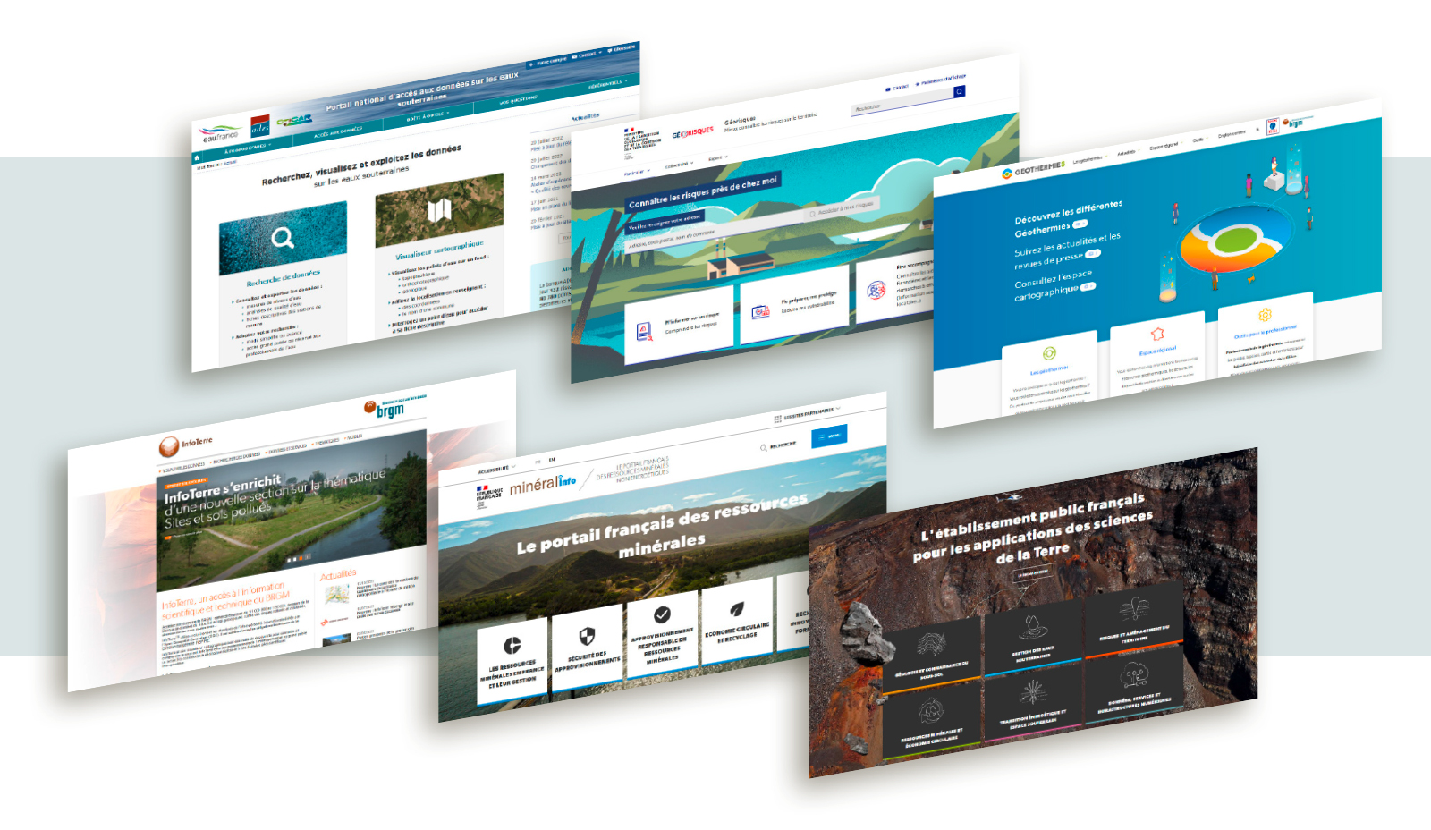
As the national geological survey, BRGM is developing multiple sites and applications to provide access to the data it has available. © BRGM
BRGM, an active member of the GAÏA Data project, is strengthening its participation in the DataTerra research infrastructure. DataTerra is an integrated data and distributed service infrastructure set up to observe, model and gain understanding of the Earth system, biodiversity and the environment. GAÏA Data (2022-2030) aims to develop this infrastructure over the entire data cycle, from acquisition to its multiple uses. For the scientific community, all this will contribute to knowledge of the Earth system, biodiversity and the environment for the public and private sectors. BRGM is contributing by setting up the technical infrastructures, jointly building the application and data architectures and continuing to design the backbone of the system through the DataTerra vocabularies it hosts.

