


Image
AN_ENTREE-GEOLOGIE.jpg
Geology and subsurface modelling
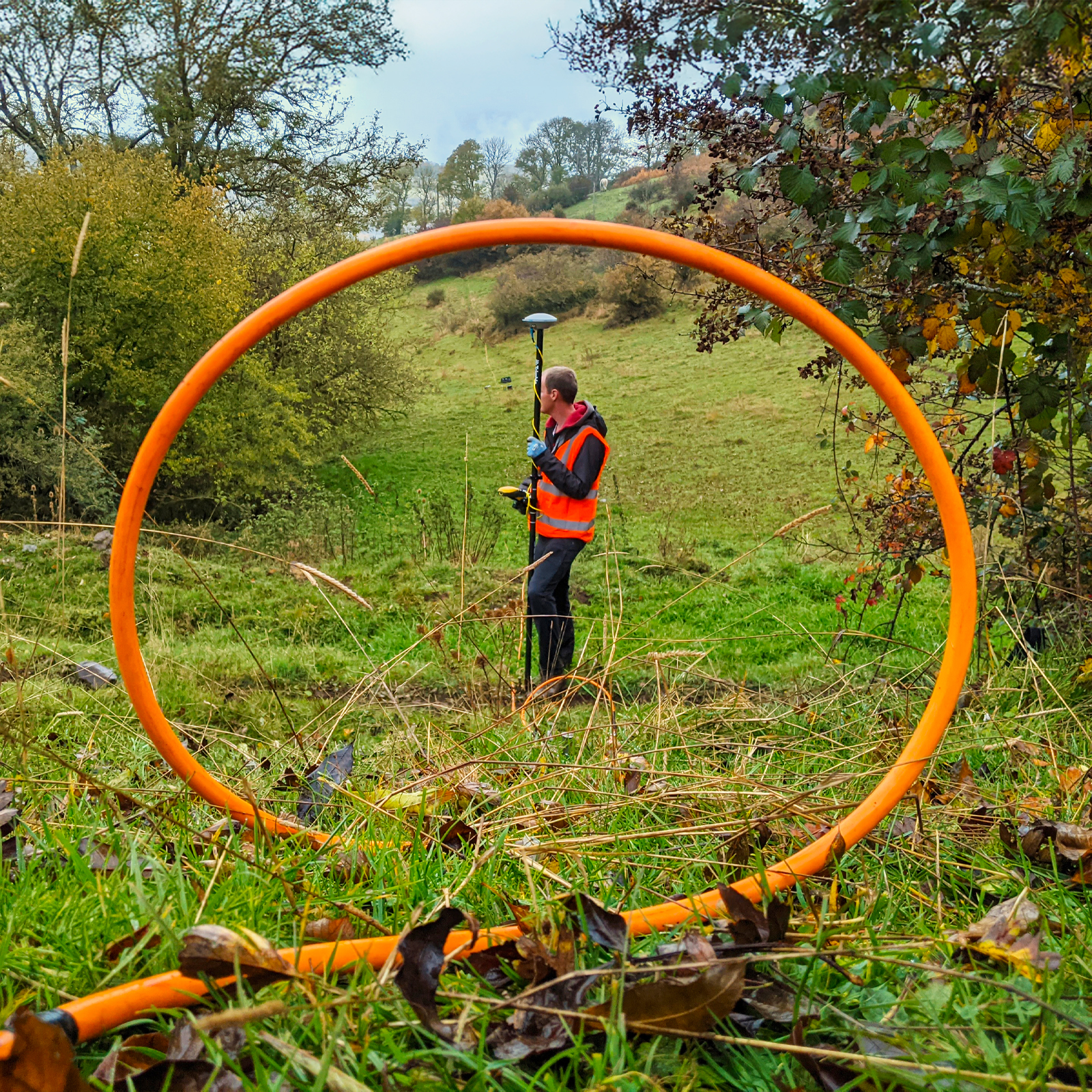
GPS acquisition along an electrical imaging profile on the edge of the landslide in Saint-Saturnin, Cantal. © BRGM - A. Portal
Geological information represents BRGM’s core mission as France’s National Geological Survey, and is a key issue in terms of the country’s sovereignty, particularly when it comes to the management of natural resources, such as water and minerals. It involves implementing the resources and expertise to collect and aggregate all available knowledge about the subsurface and its properties, so that this information can be used for a range of applications, notably for the purposes of spatial planning, exploiting the potential of the subsurface and protecting resources, such as water. Acquiring and disseminating this type of geological data and information requires a complex chain of processes, from field observation and measurements to digital models and services.

