


Image
Légende
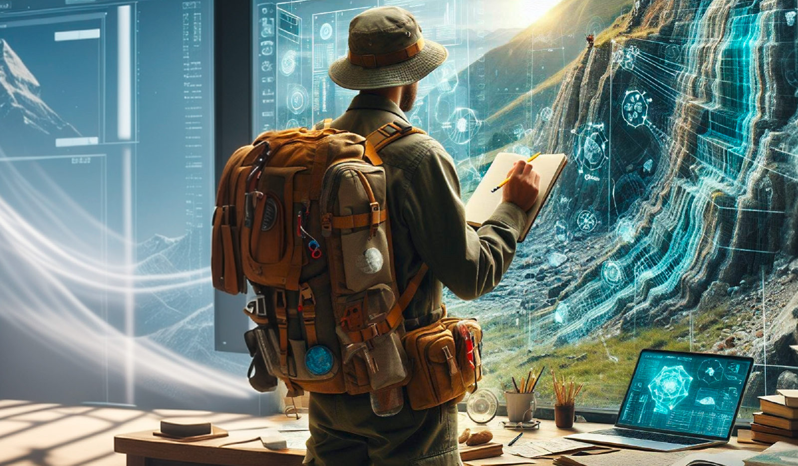
The partnership with Inria is aimed in particular at developing digital solutions to enhance the capabilities of geologists on intervention. © BRGM
Digital technology for geoscience
As part of their scientific partnership, BRGM and Inria have been working together since 2024 on the concept of the “augmented geologist”. The aim is twofold: to develop digital systems (tools for entering, querying, visualising and modelling data) that are directly accessible in the field and can be used in real time; and to use digital solutions such as artificial intelligence to make it easier to prepare a field campaign and capitalise the results on returning to base. A joint ‘challenge’ for the two establishments has been drawn up and will be launched in 2025.
The partnership with Inria is aimed in particular at developing digital solutions to enhance the capabilities of geologists on intervention. © BRGM
Commissioned in 2024, the SAPHIR supercomputer has increased BRGM’s computing capacity by a factor of 18. Thanks to its agile and relevant range of services, it provides easy access via a web portal to high-performance computing resources and pre-installed applications for developing high-precision numerical models, running simulations and analysing and visualising data. SAPHIR is also providing NVidia H100 graphics cards to meet growing needs in artificial intelligence, as well as 387 GB of high-performance storage to process large volumes of data efficiently.
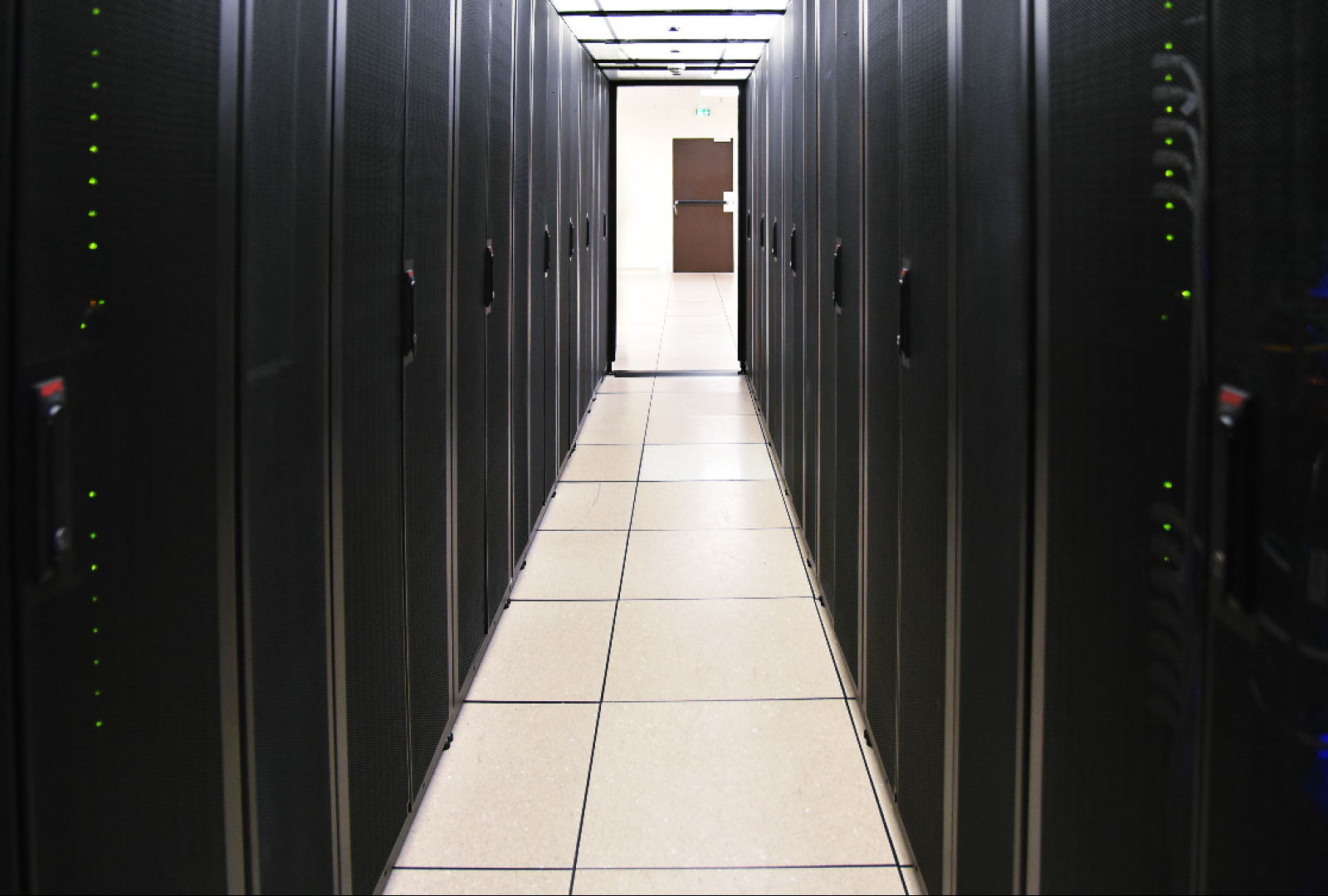
SAPHIR, BRGM’s supercomputer, is hosted in its datacenter. © BRGM - C. Boucley
BRGM organised the PAUQ (the international workshop on Practical Data Assimilation and Uncertainty Quantification) in Orléans from 21 to 23 May 2024. The event brought together around forty European specialists, from academia and industry, from a wide range of fields (geothermal energy, reservoir engineering, geophysics, hydrogeology, etc.). In particular, the discussions helped to define plans to be undertaken to provide, in the medium to long term, data assimilation and uncertainty quantification tools to assist operational decision-making and promote rational use of the subsurface.
BRGM is developing its Integrative Digital Platform (PNI). The aim is to support the digital transformation of scientific practice within the institution, by providing a shared and appropriate digital working environment. Responses to two business needs were demonstrated on a PNI prototype: the creation of 3D geological models and the production of piezometric maps. The integrative digital platform will be rolled out gradually from 2025.
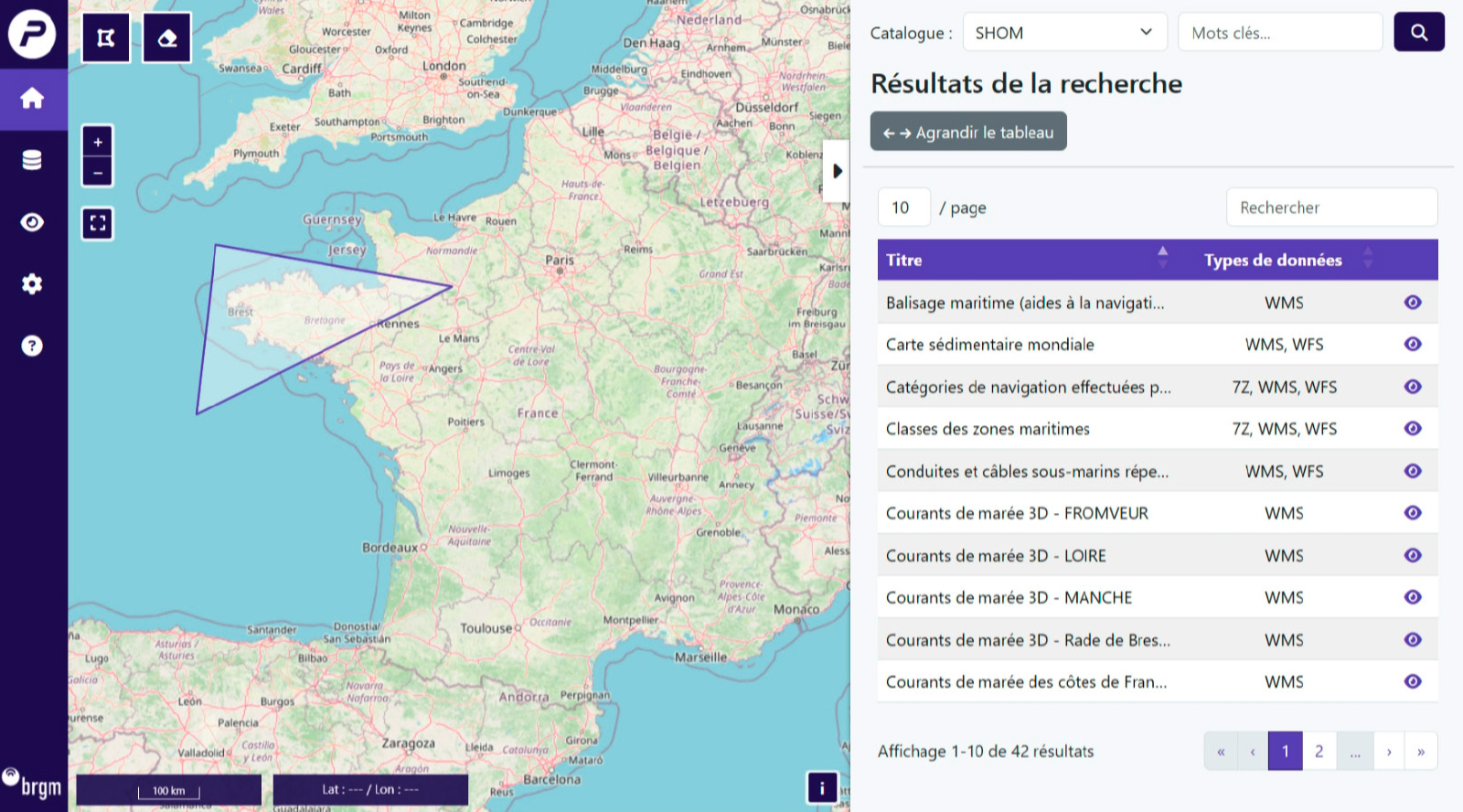
Prototype of the data access module for BRGM’s Integrative Digital Platform (PNI). © BRGM
Although they are very powerful, tools for modelling geological structures have one limitation: they do not take into account the way in which experts interpret data. Modelling-geologists often use their knowledge and experience implicitly. In his thesis, defended in 2024 and carried out in collaboration with BRGM and ISTO, Imadeddine Laouici proposes a new approach to modelling. His work, which focuses on data interpretation, seeks to make the expert’s knowledge more explicit and better integrated into the tools.
As part of the “Subsurface, a common good” national research programme (PEPR), co-directed by BRGM and CNRS, Digital Earth aims to provide the tools needed for a fully digital geology. The aim is to create a true digital twin of the subsurface, for predictive, open and collaborative geology. As a multi-partner project, Digital Earth has already made progress on a number of strategic fronts, including the launch of CURSUS for business process referencing, the initial orchestration of 3D modelling and the structuring of access to geological data.
OneWater Data is a PEPR “Water, a common good” project led jointly by BRGM, CNRS and Inrae. Its aim is to set up an ecosystem of practices based on international interoperability standards. These will be fed into a digital platform to promote the sharing, access and re-use of water data produced by PEPR projects and the scientific and operational communities. In addition, a users’ committee is responsible for identifying the needs of the French water community, with the aim of providing a response that complies with the “FAIR” principles (that data should be findable, accessible, interoperable and reusable).
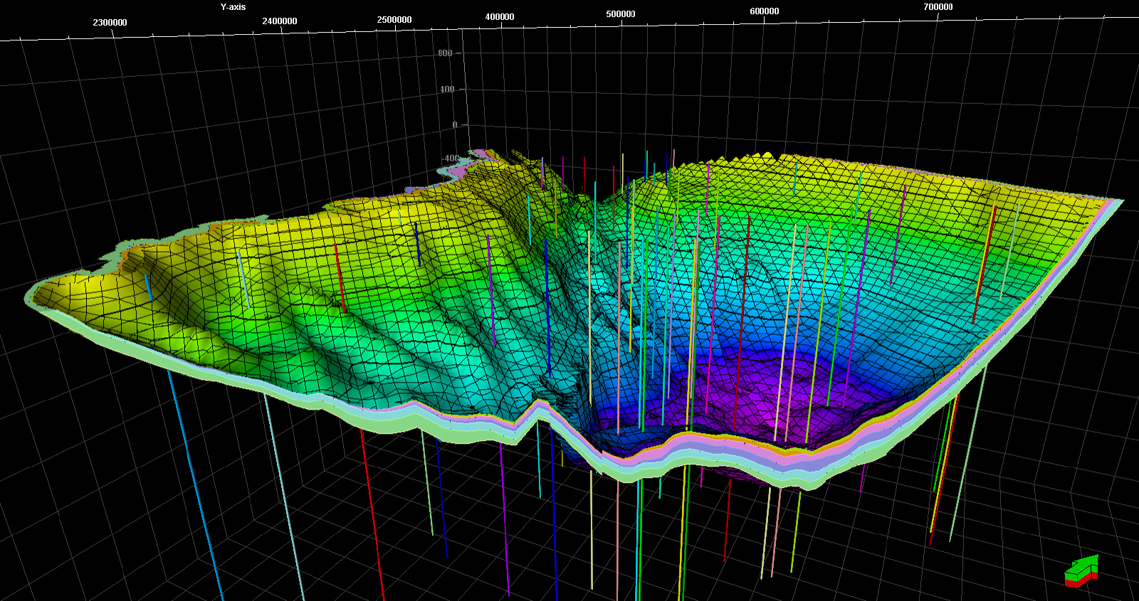
3D model of the Dogger aquifer in the Paris Basin. © BRGM

