


Image

Légende
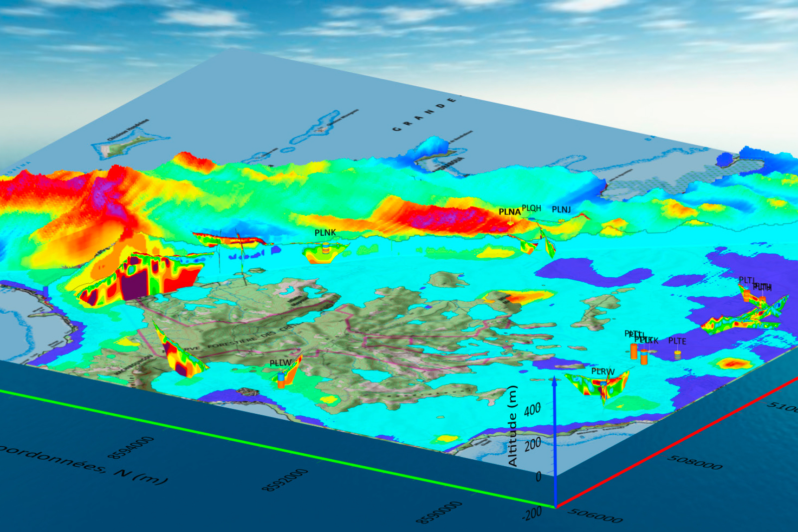
Dataset available for the drilling of groundwater boreholes in the north-western part of Mayotte: 2024 and earlier ERT data, 3D AEM model and hydrogeological boreholes. © BRGM
Geology and subsurface modelling
Working on behalf of the Mayotte Water Agency, BRGM carried out a prospecting campaign to find new underground water resources, to be used for human consumption. Around twenty new boreholes are scheduled to be drilled as of 2025. The project was carried out in two phases: firstly, the analysis of data acquired over the course of twenty years of hydrogeological explorations and, secondly, the identification of provisional sites for drilling, based on the aero-electromagnetic (AEM) resistivity model, geological and hydrogeological knowledge and new investigations on the ground using electrical resistivity tomography (ERT), while taking local constraints fully into account.
Dataset available for the drilling of groundwater boreholes in the north-western part of Mayotte: 2024 and earlier ERT data, 3D AEM model and hydrogeological boreholes. © BRGM
The “Subsurface: a Common Good” Priority Research and Equipment Programme (PEPR), which is co-managed by BRGM and CNRS, is divided into 13 targeted projects, including 5 regional projects. Four of these projects entered their operational phase in 2024. The aim of the S-PASS project in the Paris Basin is to assess the potential resources and uses of the urban subsurface. The Rhine Graben project aims to develop deep geothermal energy in order to exploit its significant potential as a source of low-carbon heat/electricity and associated co-products (lithium, hydrogen, helium, etc.). The objective of the Massif Central project is to identify and understand how the geology of this region could contribute to the future ecological and sociological transitions, and under which conditions in terms of social acceptance. In the Aquitaine Basin, the AquiBEAT project will focus on the development of geothermal applications, explorations for native hydrogen and the geological storage of hydrogen. The fifth regional project, GOYAVES, will start in 2025 in French Guiana.
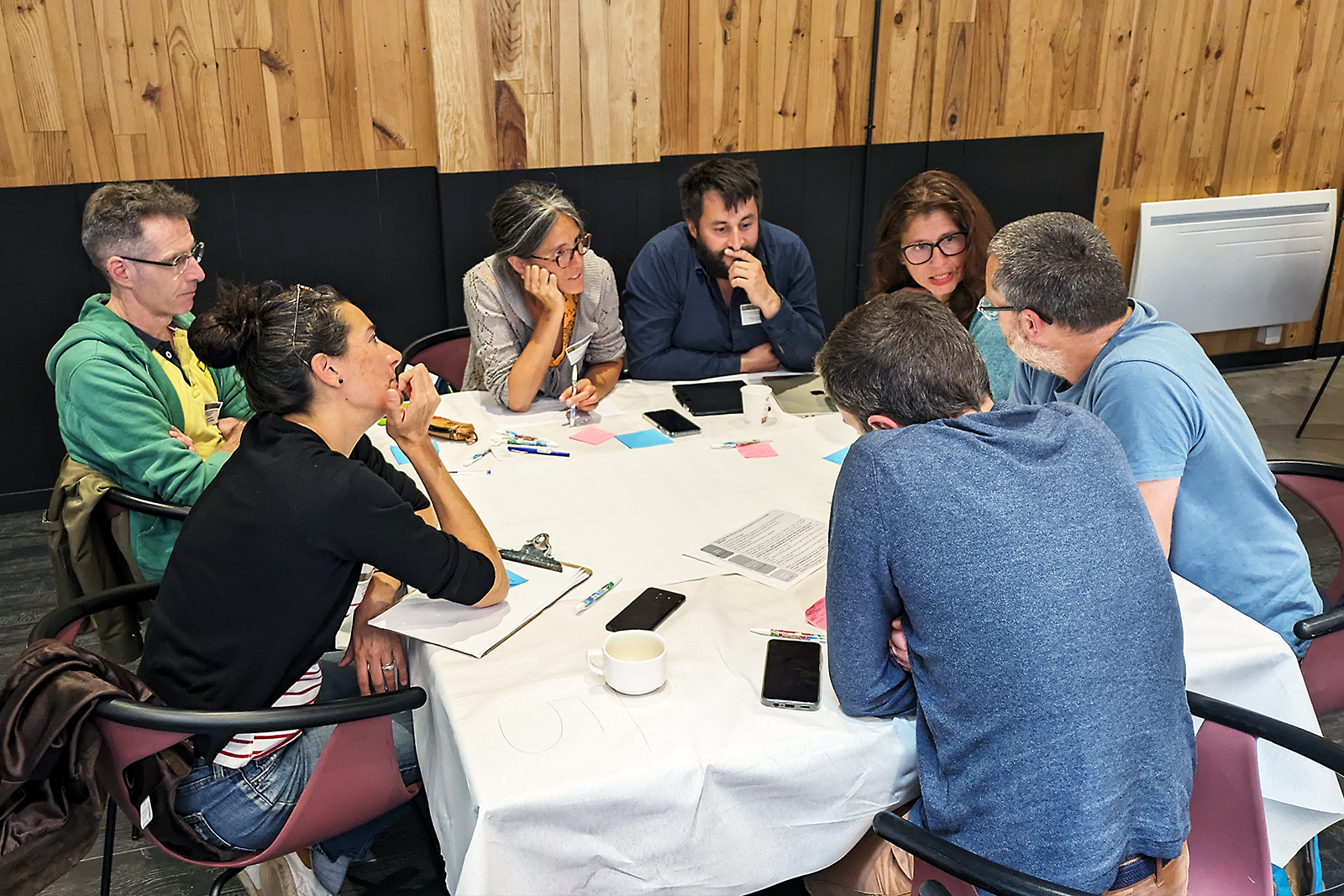
Preparatory workshops were organised on 17 and 18 June 2024 for the launch of the Massif Central Sub-surface PEPR project. © PEPR Sous-sol, bien commun
On 4 April 2024, BRGM and Ineris took part in an information day devoted to the subject of groundwater monitoring and data storage in Orléans. Organised by the DREAL Bourgogne Franche-Comté, the event was aimed at the public organisations responsible for risk prevention policies concerning water. BRGM presented the French Subsurface Database (BSS), which holds all the data on underground structures in France, notably highlighting the new remote all-in-one service for declaring underground works (DUPLOS).
Zambia hosted the final meeting for the second phase of PanAfGeo in Livingstone on 22 and 23 October 2024. Coordinated by BRGM, which is also involved in the scientific and operational aspects, this programme enabled more than 1,750 geoscientists from 54 African countries to be trained in different areas of geosciences. A total of 72 training sessions were organised in English, French and Portuguese between 2016 and 2024. PanAfGeo is a partnership project set up between the African Union and the European Union. This programme has contributed to strengthening collaboration between the European (EuroGeoSurveys) and African (OSGA) geological surveys.
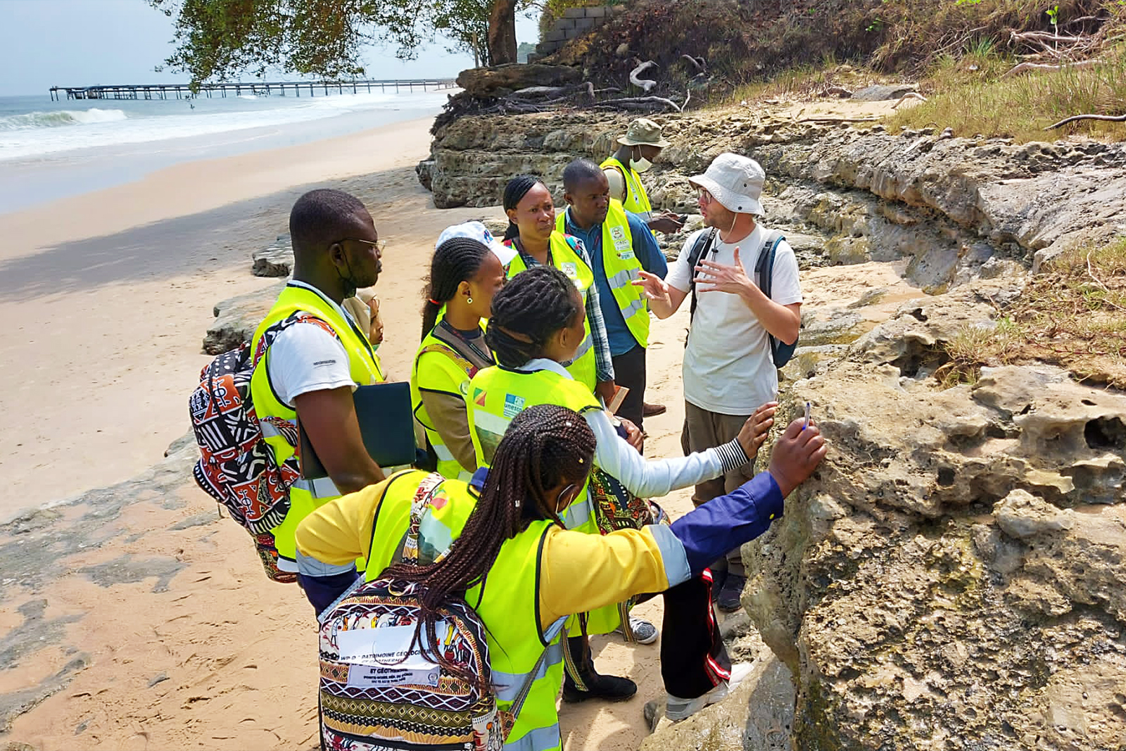
Training on geological heritage in Congo-Brazzaville, provided by BRGM as part of the PanAfGeo programme. © BRGM
Could telecom optical fibre systems be used to monitor the subsurface in urban areas? BRGM is trying to answer this question with its experimental DAS platform (distributed acoustic sensing using optical fibres) based in Orléans. This innovative system consists of several different configurations of optical cables laid out under controlled conditions along the avenue that runs next to BRGM’s scientific centre. It will enable observations to be made thanks to the acquisition of a specific measuring device acquired in 2024. Initial results confirm the feasibility of this solution for monitoring the geomechanical properties of the near subsurface in real time. This solution has various potential applications, for example, preventing the risk of collapses, monitoring the water concentration, monitoring geological storage sites, etc.
BRGM used the magneto-telluric method to produce 3D imagery of the resistivity of Mount Pelée, in the north of Martinique, thereby revealing the geoelectric structure of the subsurface to a depth of 22km. This model has improved our understanding of the Pelée volcanic system. It also helped to define the optimum location for a magneto-telluric surveillance network to be installed during the second phase of this project, which is being carried out within the framework of an agreement signed with the island’s Prefecture.
3D model of the resistivity of Mount Pelée, an oblique view from the south-west. © BRGM

