


Image
Légende
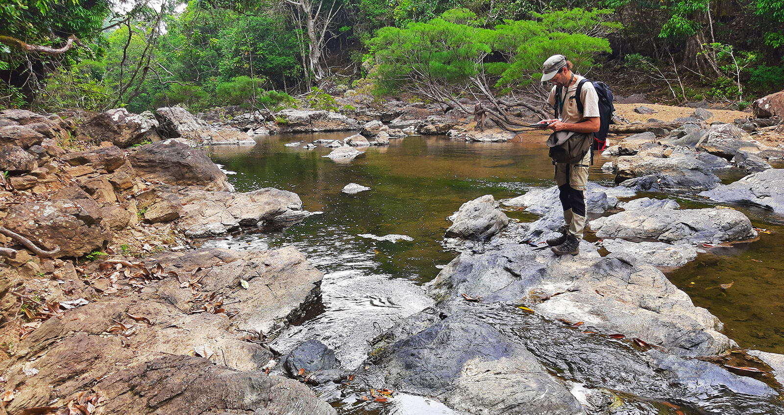
Field survey in the Boghen metamorphic unit (New Caledonia). © BRGM – L. Alizert
Geology and knowledge of the subsurface
BRGM has signed an agreement with the New Caledonian Geology Service (SGNC) to provide support for the development of the New Caledonian geological repository (RGC). BRGM will apply the know-how acquired through the geological reference system in France in terms of tools and methods. In this way, it will help the SGNC to streamline its knowledge of the New Caledonian subsurface and put it to use through the ongoing integration of old and new geological acquisitions. This will provide reliable, up-to-date and relevant data for the entire country.
Field survey in the Boghen metamorphic unit (New Caledonia). © BRGM – L. Alizert
In September 2023, BRGM supervised an airborne geophysical campaign in the Cayenne, Roura, Cacao and Macouria areas of French Guiana on behalf of government services. The magnetic and electromagnetic data acquired during these flights is now being used to produce three-dimensional images of the subsurface at depths of up to 300 metres. By improving our knowledge of the geological structure of the northern region of French Guiana, we will be able to better assess the risk of landslides and support the development of the coastline, which is highly changeable.
Following on from the Fonts-Bouillants PER (exclusive research permit) project, the Avant-Monts PER project in the Franc-Comtois region was launched in the spring of 2023. For this project, BRGM and 45-8 Energy, a company specialising in helium and hydrogen exploration and production, signed a tax credit contract for research partnerships (CICo). This type of contract is particularly advantageous for companies, which can recoup between 40 and 50% of eligible expenditure in the form of tax credits for projects with a research focus. The project involves a series of ground and airborne geophysical acquisitions that will be used to create a 3D geological model of the area covered by the PER, based on existing data. The goal is to integrate geophysical knowledge into this model and, as part of an iterative process, to oversee and maintain the coherence and integrity of the two approaches. The purpose of the programme is to provide a detailed understanding of the structures (faults and reservoirs) and petrophysical properties of the subsurface, enabling 45-8 Energy to identify locations for its drilling programme in 2024.
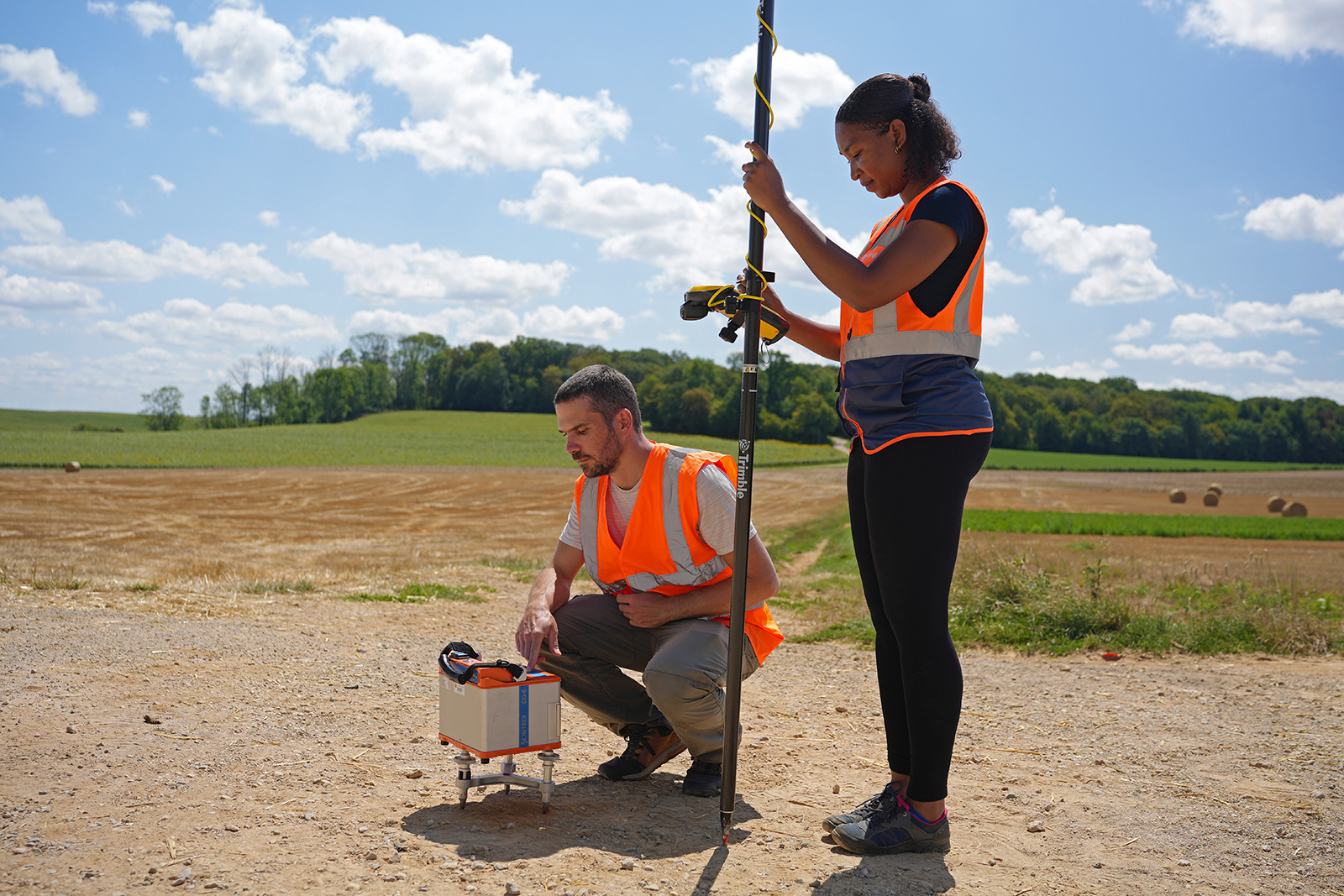
Operators measuring gravimetric points and GPS points. © BRGM
While historical mapping of radon-222 in France has identified high levels of the gas in crystalline environments, it has been detected in similar proportions in the soil of certain carbonate areas. To better understand the source of these atypical concentrations, BRGM and IRSN (Institut de Radioprotection et de Sûreté Nucléaire - Institute for Radiation Protection and Nuclear Safety) conducted a study in the Fourbanne and Grands Causses areas. The results showed that it is actually sources outside these areas that contain radioactive elements. The content of carbonate rocks and their alterations is very low. In the Grands Causses area, bauxite is the main source of the radon222-radium226-uranium 238 triptych in the soil. This result is corroborated by the post-depositional history of these carbonate massifs, where alteration under cover led to karstification and the subsequent sinking of the allochthonous sedimentary cover within the carbonate massif. The same mechanisms were identified in Fourbanne, where radioactive elements also appear to stem from detrital fracture, which is rich in heavy minerals, whose source is still unknown.
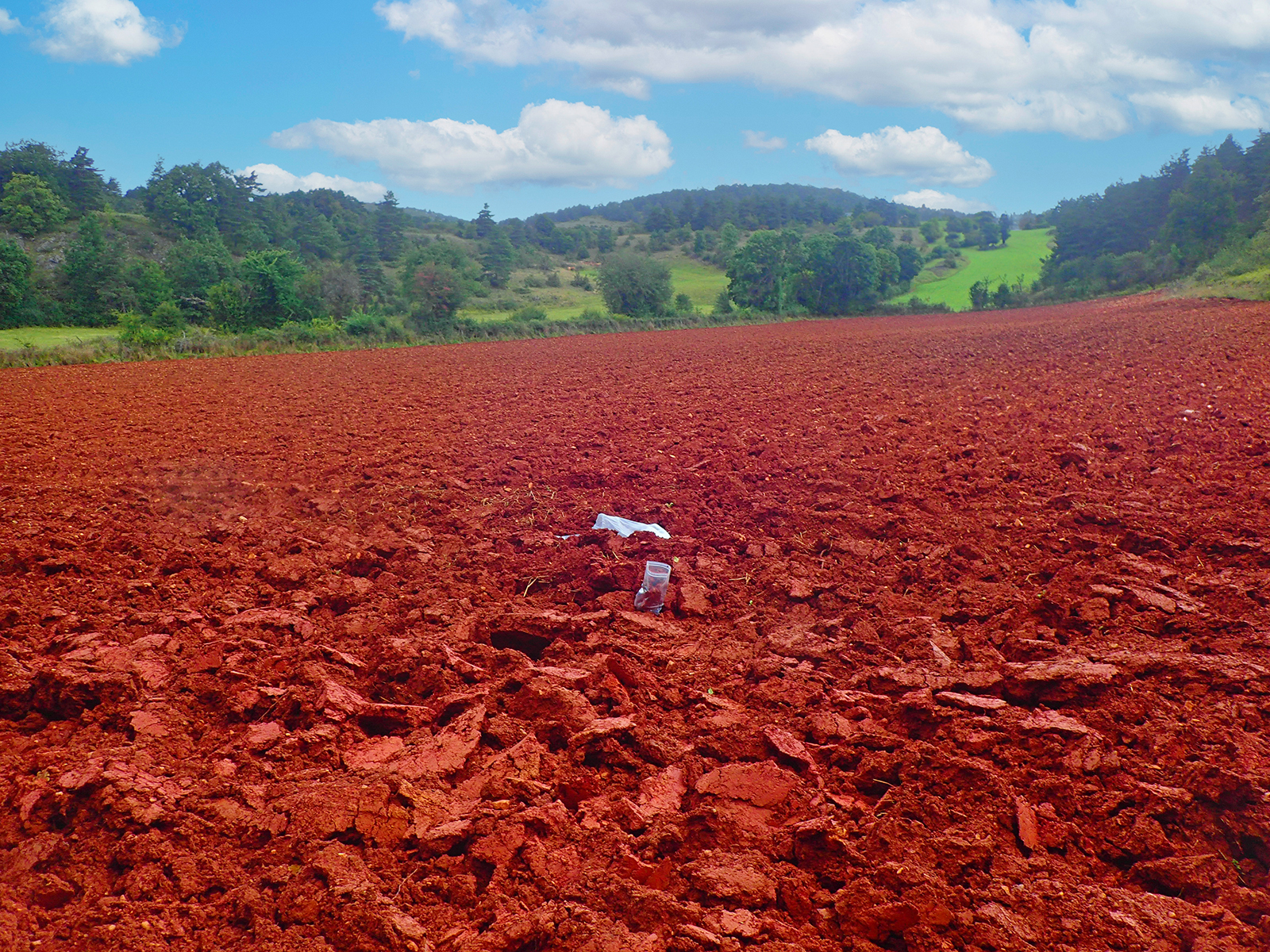
Doline on the Causse de Sauveterre, where the furrowed soil was formed mainly from bauxitic deposits. © BRGM – E. Husson
The Parentis basin contains the largest oil deposit in France, at a depth of over 2,000 metres. The Vermilion company plans to conduct a study to characterise the carbonate levels known to be faulted, diagenetised and karstified, and which contain the bulk of these residual reserves. BRGM is taking part in the project to gain a better understanding of karstogenesis phenomena and the geometry associated with karstification. Based on a multidisciplinary approach, this research and development project draws upon the latest methods and concepts to provide a better understanding of the karstification of these reservoirs and thus to improve geological models and their use for predictive purposes.
BRGM has been producing geological models for forty years using specialised tools, sometimes developed in-house. As part of the ForGEO project, it is working on merging GDM Multilayer (multi-layer modelling of geological formations) and GeoModeller (modelling of complex structures) into a single environment. Software bricks have been redeveloped to provide an operational alternative to legacy tools, but also to create a modular, scalable environment that can be reconfigured according to production needs. Adapted to modern computing resources, this environment could also serve as an incubator for research projects.
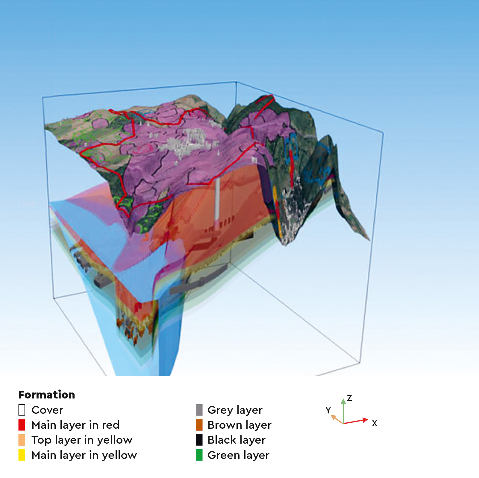
3D model of the subsurface of the municipality of Angevillers, eastern France, showing the topography, the iron-bearing geological horizons (roofs and volumes) and the mining zones (homogeneous mined areas). The surfaces modelled are taken from a model generated and displayed using ForGEO tools. © BRGM

