


Image
Légende
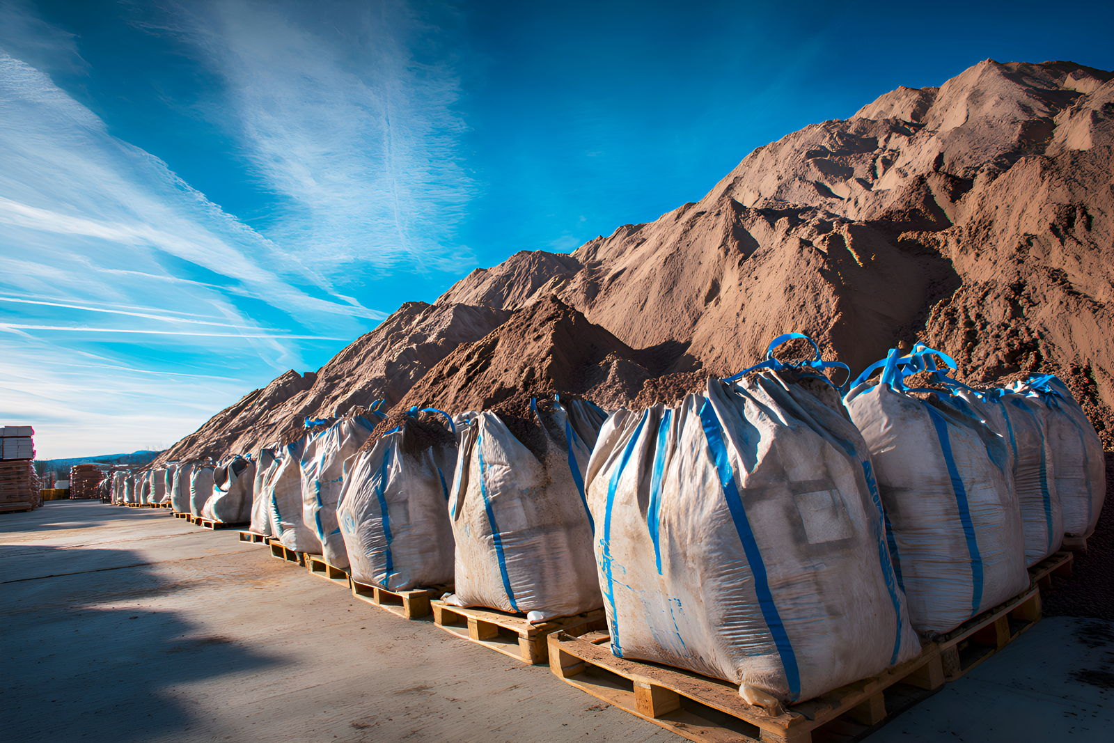
Since 5 May 2025, excavated soil movements have been reported via the Trackdéchets regulatory platform. © Adobe Stock
 French geological survey
Digital technology for geoscience
In 2025, BRGM supported the integration of the National Register of Waste, Excavated Soil and Sediments (RNDTS) into the Trackdéchets application. This development simplifies the tracking of hazardous and non-hazardous waste streams by bringing all the procedures together within a single, more user-friendly and interoperable system. BRGM has helped to integrate data standards and harmonise data models, thereby ensuring continuity of service for public sector bodies, waste producers and waste operators.
Since 5 May 2025, excavated soil movements have been reported via the Trackdéchets regulatory platform. © Adobe Stock

As part of their partnership, BRGM and INRIA officially launched the “Augmented Geologist” challenge in Paris on 17 September 2025. The aim of this four-year research project is to develop the digital tools of the future for geologists in the field to record their observations, compare them with existing data and sketch out terrain models. It is also intended to make it easier to prepare a survey and make use of the results, for example using artificial intelligence.

The aim of the “Augmented Geologist” challenge is to develop tools that can be used in the field in real time for collecting, querying, visualising and modelling geological data. © brgm
In 2025, BRGM consolidated its leading role in national research programmes (PEPR) on water and the subsurface on the basis of significant progress in the development of open-source, interoperable and shared digital infrastructure at the European level. Under the OneWater PEPR, the organisation launched the first version of a portal called OneWater Data to facilitate the access, sharing and reuse of water data in accordance with the FAIR principles. As part of the Subsurface PEPR, BRGM helped to set up the CURSUS platform, a “repository” of business processes and practices that promotes mutual understanding between the various areas of subsurface expertise.
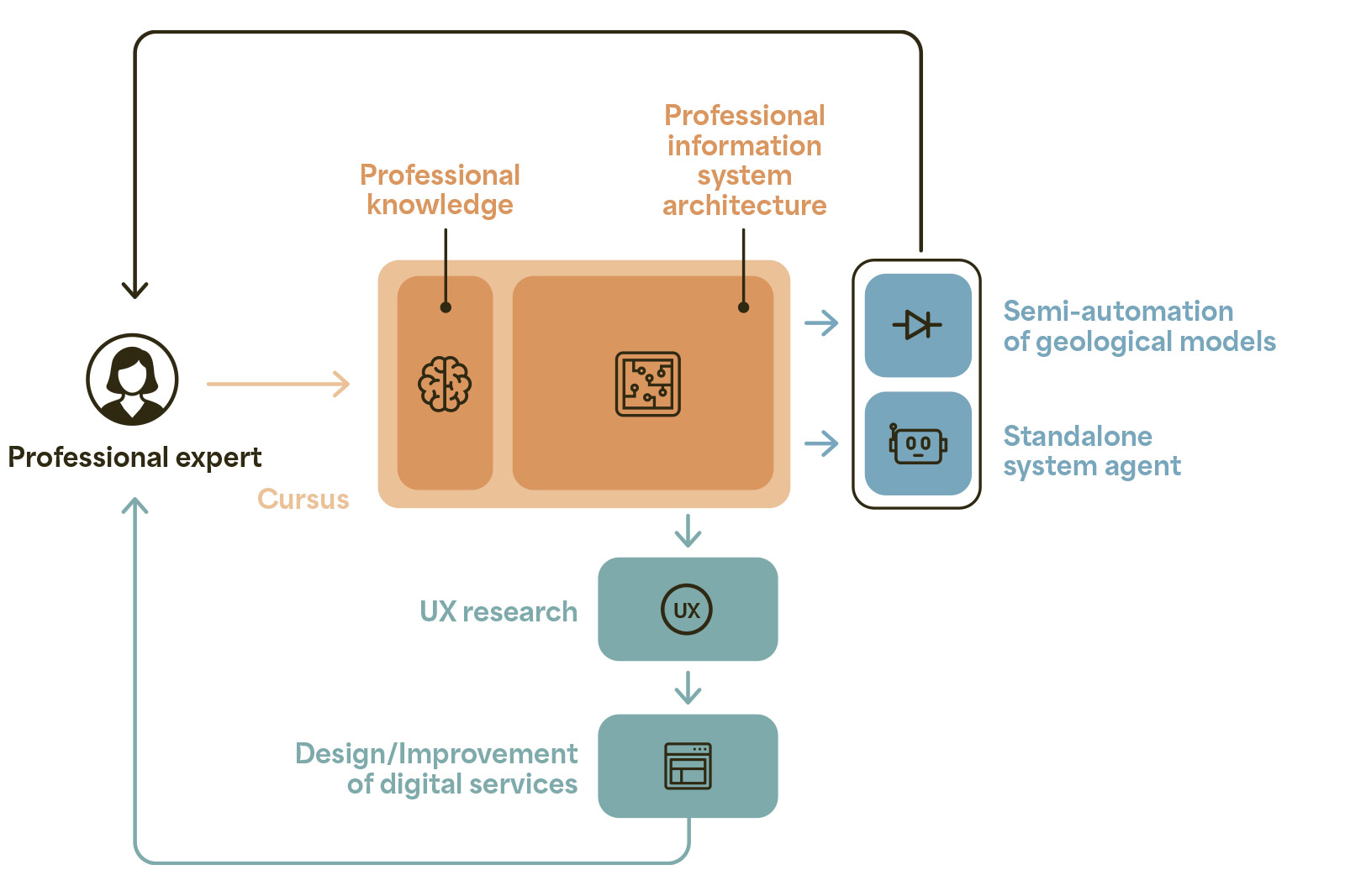
Interaction between Cursus and the various components and functions provided by an information system. © PEPR Sous-sol, bien commun
Serving the education and research community, Renater is a reliable and secure network that facilitates collaboration and the convergence of scientific and academic projects. In 2025, the connection hub for the Orléans region, which had previously been hosted at the university, was relocated to BRGM as part of the certification by the Ministry of Higher Education and Research (MESR) of its regional data centre, the CVL (Centre-Val de Loire) Data Centre, which is also a hub in the Data Terra national research infrastructure. This change helps to improve the performance of the national digital network and to support the development of scientific applications requiring large-scale data exchanges (environmental modelling, land observation, etc.). The launch of the Renater hub also enables interconnection with MESR-accredited data centres in other regions.
In 2025, BRGM adopted a generative artificial intelligence charter, which sets out its commitment to regulating its use while promoting innovation. Drafted collaboratively, this document sets out the ethical, legal and technical principles to be observed when using generative AI tools in the institution and specifies the requirements regarding data protection, model transparency and human validation of the content produced. This initiative aims to make sure best practices are applied in the use of AI to support BRGM’s role in the public interest. At the same time, a cross-functional, secure and sovereign AI solution was selected for in-house deployment.
Morocco aims to improve its understanding and management of natural hazards across the country by streamlining the collection, management and dissemination of natural hazard data (earthquakes, floods, landslides and coastal flooding). As a partner in this project, BRGM took part in the feasibility study for a national natural hazard information system. In particular, BRGM helped to establish its architecture, the data repositories and the governance and interoperability arrangements between the various stakeholders.

