Image
Légende
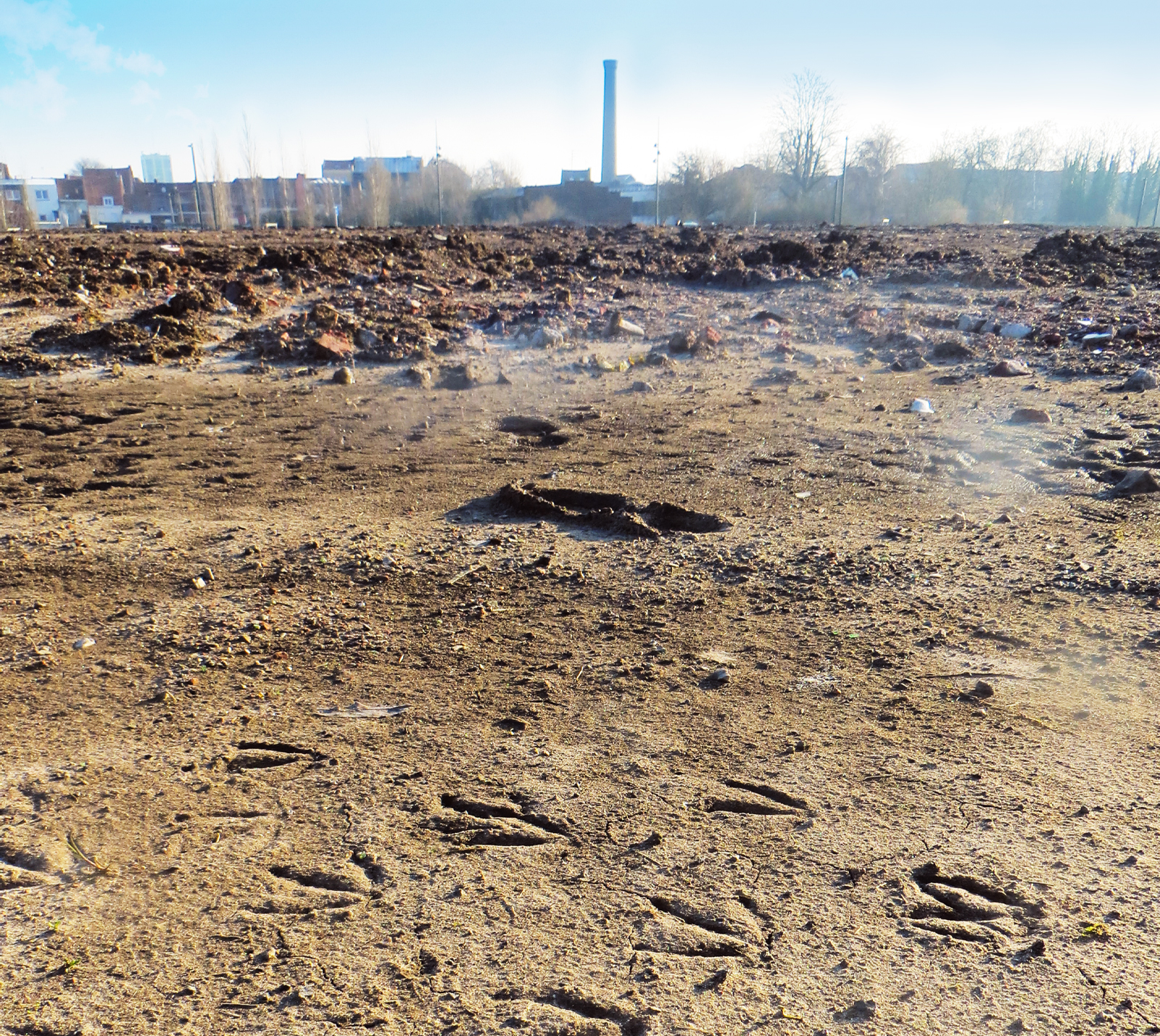
InfoSols helps to keep a record of the locations and activities of former industrial sites, for example, the Union brownfield site in Roubaix (Hauts‑de‑France) shown here. © brgm
 French geological survey
Risks linked to the ground and subsurface
InfoSols helps to keep a record of the locations and activities of former industrial sites, for example, the Union brownfield site in Roubaix (Hauts‑de‑France) shown here. © brgm
The management and monitoring of polluted sites and soils is a major challenge for public authorities, since it affects policy-making in many key areas, notably spatial planning, public health and environmental protection. This mission, primarily overseen by the Regional Directorates for Environment, Planning and Housing (DREAL), notably involves populating databases to create and update records of polluted sites and to provide administrative, historical and technical information. In order to optimise the process for inputting this information, BRGM developed InfoSols, a national platform dedicated to the management and organisation of data relating to polluted or potentially polluted sites. Launched in October 2020, this application addressed the need to consolidate and unite existing databases, notably BASOL (a database of polluted or potentially polluted sites and soils), SIS (soil information sectors) and CASIAS (a historical inventory of former industrial sites and service activities). This fragmented structure meant that information might be duplicated and made it more difficult for the parties involved to manage the data effectively.
In the current social climate, with growing pressure on building plots and increased concern about pollution, InfoSols' value was quickly acknowledged. Moreover, it is now a strategic tool for implementing the European Directive on soil monitoring and resilience in France. This document, which reflects a growing awareness of the importance of this ecosystem to society, due to the essential services it provides, aims to improve the understanding and monitoring of the state of soils throughout the European Union. By centralising and organising data on polluted sites and soils, InfoSols improves the traceability and availability of the information needed to assess environmental risks.
In 2025, the platform underwent a major overhaul. “InfoSols had become outdated, largely due to the merger of old databases, which created several complications,” explains Virginie Vincenti. “So, the teams from the DREALs, who are the platform’s primary users, informed us about some of the difficulties they encountered when using the platform.” This new version was designed to improve the user experience and speed up administrative tasks, while also improving data reliability, including smart duplicate management. “Whilst the main aim of this upgrade was to simplify the visual interface and the workflow, this version also has new features, responding to the expectations of the DREALs, such as filters and search engines, as well as automatic uploading of public utility easements to the urban planning geoportal,” explains Alexandre Vrain.
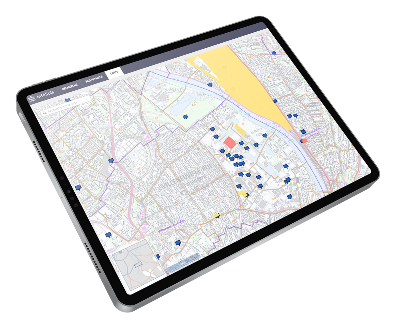
The map of the sites entered into the system, located right down to the cadastral scale, is one of the functionalities provided by the InfoSols platform. © BRGM
The development of InfoSols was decided jointly by the General Directorate for Risk Prevention (DGPR) and BRGM, which managed its implementation and brought together two teams with complementary expertise: one specialising in information systems, which carried out a user survey and defined the technical specifications for the digital platform; the other with expertise in polluted sites and soils, which led working groups with the DGPR and the DREALs, trained users on the new version of the tool and helped organise communication about the upgrades. However, this does not mean the current version of the platform is set in stone. “A satisfaction survey will soon be carried out among the DREALs to gather their feedback on this new version,” says Julie Philibert. “The results will enable us to fine-tune certain aspects and continue to improve this platform so that it meets users’ needs effectively.”
InfoSols is, first and foremost, a management tool for various government departments. However, in keeping with the principles of environmental transparency and the conservation of historical records, the platform also feeds data directly into Géorisques, the main public website for location-specific information about natural and anthropogenic risks, which is managed by BRGM. “The improved data quality in InfoSols has a knock-on effect on Géorisques, which has also become more reliable,” explains Virginie Vincenti. Consequently, this initiative contributes to improving the information that is available to both the public and stakeholders involved in spatial planning concerning potential soil pollution and the associated risks.