Légende
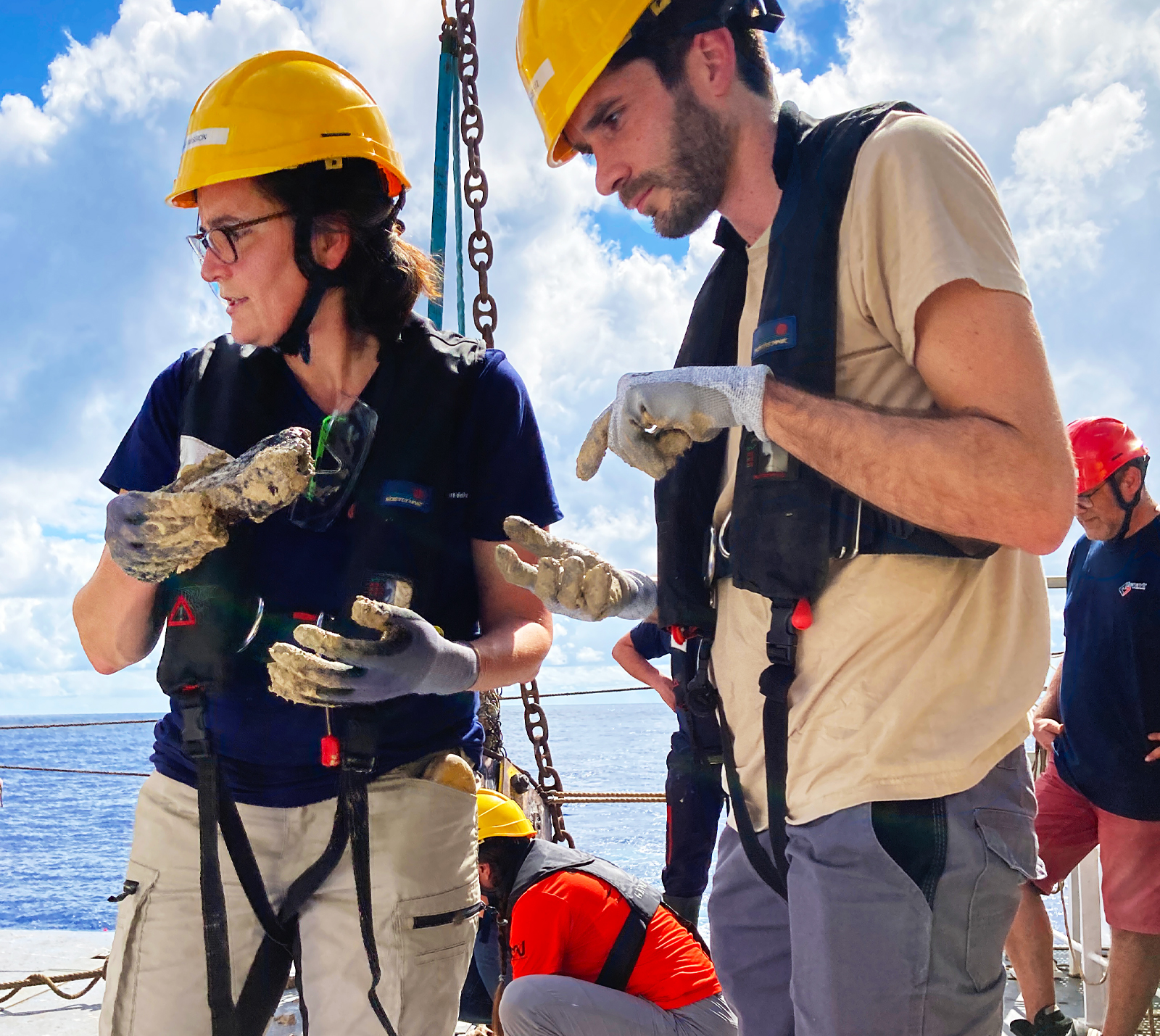
Geophysical and geological data around Mayotte and the other islands of the Comoros archipelago were collected in the course of the SISMAORE oceanographic survey from 23 December 2020 to 11 February 2021. © brgm
On Thursday 10 May 2018, a tremor was felt in Mayotte. It was the first in a long series: over 2,700 earthquakes with a magnitude of more than 3 were recorded over the course of 10 months! The cause was an eruption of the underwater volcano Fani Maoré, which took place 50 kilometres off the coast of Mayotte at a depth of 3,500 metres. From its base on the island, BRGM took immediate action to help government departments manage the crisis. BRGM also set up a research project that was to be funded by the ANR to run from February 2020. “The purpose of COYOTES was to address the need for knowledge about the subsurface below the seabed of the Northern Mozambique Channel, where the Comoros archipelago – including Mayotte – is located, and about past regional and local events,” summarises Isabelle Thinon. “The purpose was to understand the context of the ongoing seismic-volcanic crisis and to better assess the hazards.”
A vast amount of data was collected from bathymetric, seismic, gravimetric and magnetic surveys, seismic reflection and refraction profiles and sediment and rock samples taken both onshore and at sea, in order to determine the depth and morphology of the seabed and the structure of the subsurface, to identify faults, large-scale landslides and volcanic structures and to determine the nature, origin and age of volcanic events. Interpretation of these data led to a series of workshops involving geologists, geophysicists, seismologists, sedimentologists, structural geologists, geochemists, vulcanologists, etc.
First seismic image of Fani Maoré
“What makes this research project unique,” says Anne Lemoine, “is the multidisciplinary nature of the expertise involved in the study of a region for which there are almost no data.” More than 30 scientists and experts from 14 French and European institutions and laboratories were involved, along with 4 PhD students, 1 post-doctoral researcher and 7 Masters students. They all helped to characterise the seabed and substrata of the North Mozambique Channel and to gain a better understanding of the processes and phenomena that have occurred throughout the region’s geological history, from the formation of the oceanic basin and the emergence of the Comoros archipelago right up to the 2018-2020 eruption.
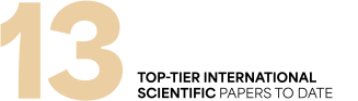
The results have been shared with the scientific community through 13 international papers (with others currently being drafted) and several maps. In particular, the COYOTES project provided the first seismic image showing the internal structure of Fani Maoré and its substrata. A seismicity catalogue for the region has been compiled, listing the earthquakes recorded over the last hundred years. Scientists have also revised the timeline of the undersea volcano’s eruption, identifying the precursor events. Another major finding is that the entire Comoros archipelago must now be regarded as volcanically active. All of this regional expertise feeds into and benefits from the discussions in the Mayotte Vulcanological and Seismological Monitoring Network (REVOSIMA) established in 2019, which BRGM coordinates jointly with the Paris Institute of Earth Physics.
Légende
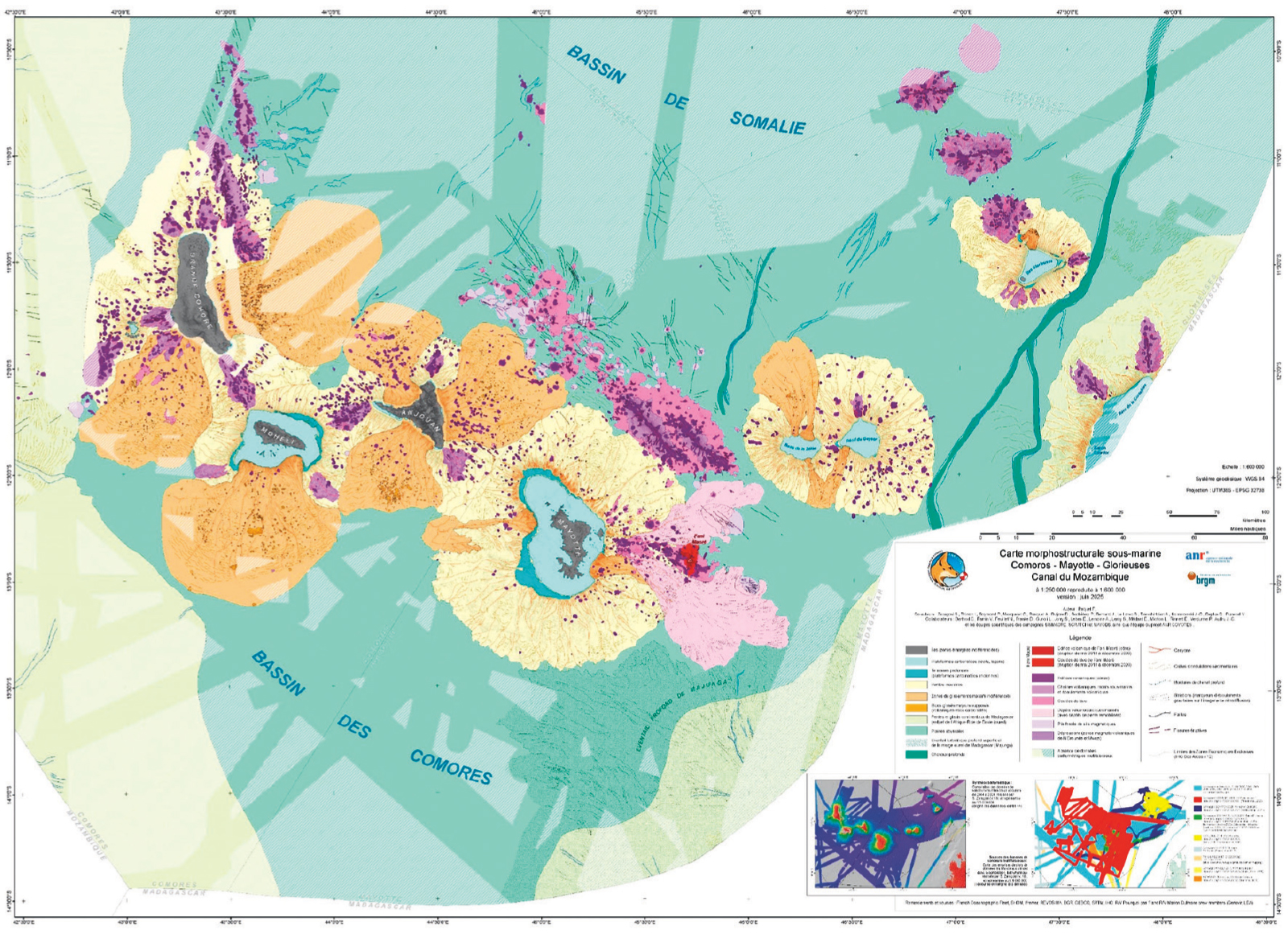
On the basis of work carried out on the COYOTES project, a 1:250,000 morphostructural map of the seabed across the entire Comoros archipelago was produced. © Paquet et al. 2025
Raising awareness amongst the people of Mayotte
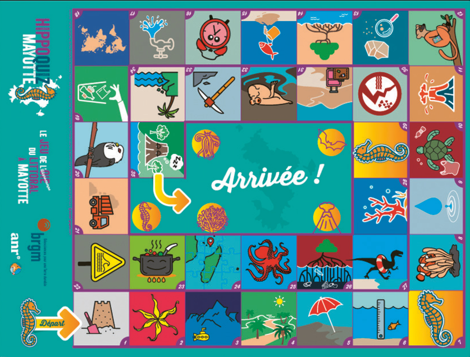
Several information sessions have been organised for the general public. BRGM even created an educational game which has been distributed to schools, universities and community organisations to raise awareness of geology and volcanic activity among the people of Mayotte. Finally, this first project could lead to several others. Under the national risk research programme (PEPR Irima) jointly coordinated by BRGM and others, work has already begun on modelling the impacts of tsunamis that could affect Mayotte. Work has also begun on creating a 3D geological model of the island. However, knowledge of the area and of the phenomena taking place could be refined to improve understanding of the risks and resources.
Légende
The Hippoquiz Mayotte board game, an educational game about the island’s geology, designed by BRGM. © BRGM